26
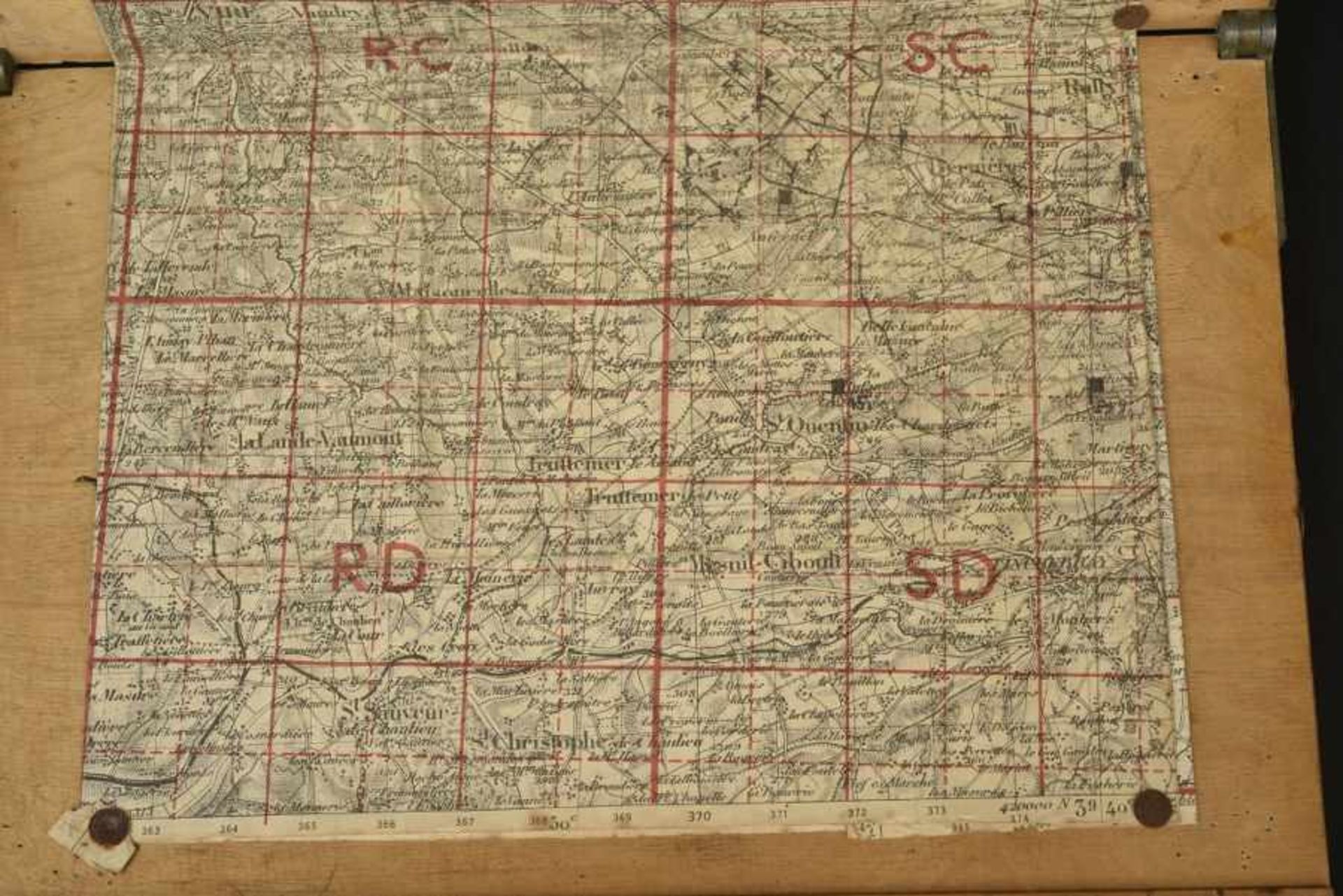
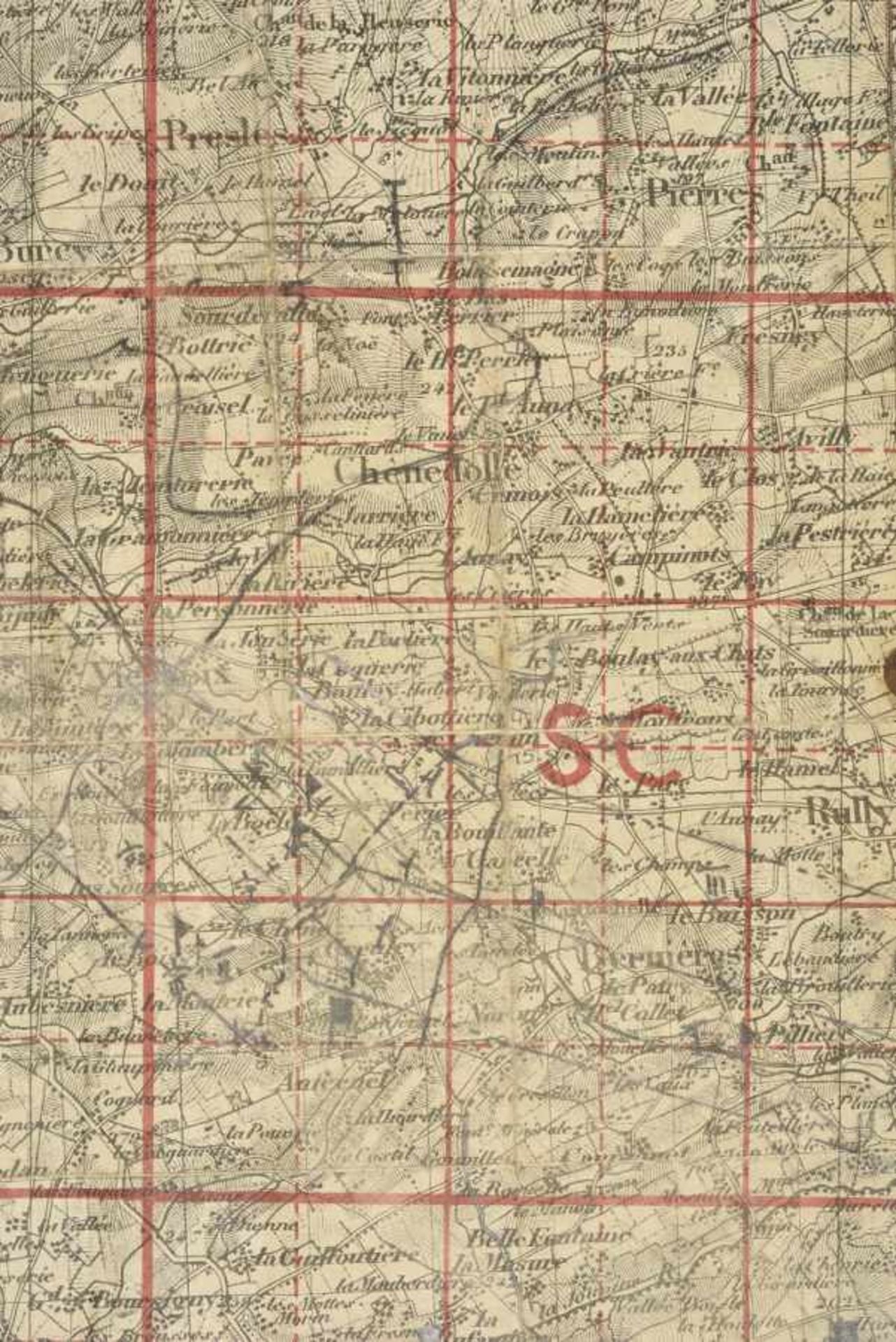
Carte d'Etat Major du secteur de Chênedollé, lieu d'un important combat de blindés entre Willy Fey
1/4
Das Auktionshaus hat für dieses Los keine Ergebnisse veröffentlicht
Caen
Beschreibung
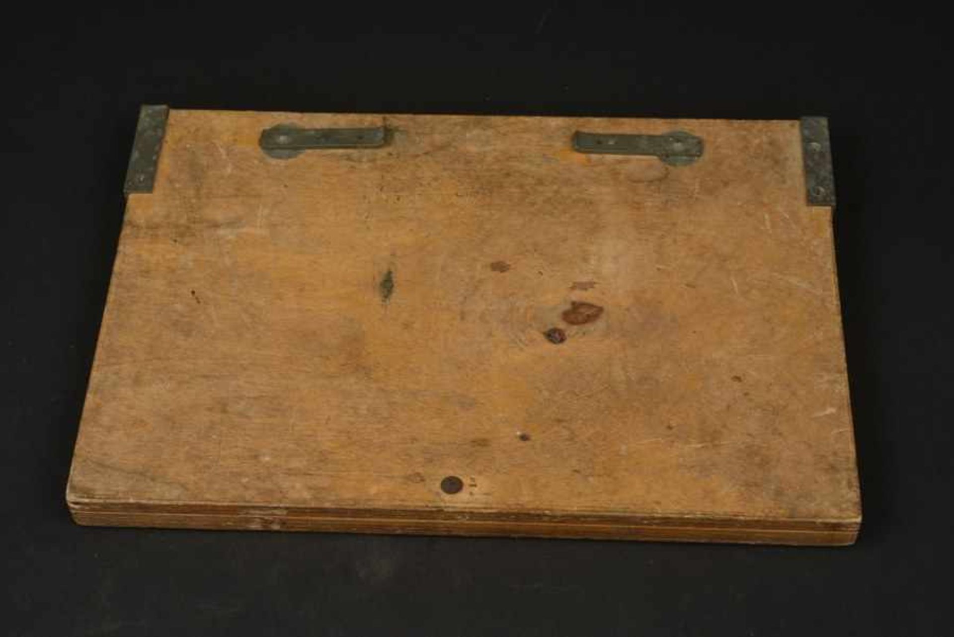
Carte d'Etat Major du secteur de Chênedollé, lieu d'un important combat de blindés entre Willy Fey de la Hohenstaufen et les alliès. Staff Headquarters map of the Chênedollé sector, site of a major armored battle between Willy Fey of the Hohenstaufen and the alliesCarte allemande quadrillé d'artillerie, du secteur Vire, Rully et Chênedollé. Haut lieu d'une importante bataille de blindée en Normandie. Punaisé et pliée d'origine sur un porte carte réglementaire allemand en bois. Schéma au crayon des attaques sur le secteur de Bernières Le Patry, et Roullours. Emplacement des Etats-Major de compagnie et de bataillons, dont un marqué Pz 9 et celui de Saint Quentin les Chardonnets, marqué 15. Porte carte de fabrication CME 43. A noter une certaine patine et usure de la pièce. Carte laissé dans son état de découverte. Pièce trouvée à Saint Pierre sur Dives dans le hameau de Maimbeville. Illustrée page 41 du livre 75 objets du Débarquement de Normandie. Attestation originale de provenance signée de Bertrand Paris jointe avec un exemplaire de l'ouvrage. German grid map of artillery, the Vire, Rully and Chênedollé sector, the scene of a major set-piece armored battle in Normandy. Pinned and folded as found onto a regulation wooden German map holder. Pencil diagram of attacks in the sector of Bernières Le Patry, and Roullours. Location of company headquarters and battalions, one marked PZ 9 and that of Saint Quentin les Chardonnets, marked 15. Mapholder Manufactured CME 43. Note some discoloration and wear from use on this item. The map presented as found, in the hamlet of Mimbeville near Saint Pierre sur Dives. An illustration can be found on page 41 in the book 75 objects of the Landings in Normandy. Its provenance is attested by an original certificate under the signature of Bertrand Paris, attached with a copy in the book. Photos supplémentaires sur www.aiolfi.com. Additional photos on www.aiolfi.com. Etat II+
Auktionsdetails
Versand
AGB & Wichtige Informationen
Stellen Sie dem Verkäufer eine Frage
Carte d'Etat Major du secteur de Chênedollé, lieu d'un important combat de blindés entre Willy Fey de la Hohenstaufen et les alliès. Staff Headquarters map of the Chênedollé sector, site of a major armored battle between Willy Fey of the Hohenstaufen and the alliesCarte allemande quadrillé d'artillerie, du secteur Vire, Rully et Chênedollé. Haut lieu d'une importante bataille de blindée en Normandie. Punaisé et pliée d'origine sur un porte carte réglementaire allemand en bois. Schéma au crayon des attaques sur le secteur de Bernières Le Patry, et Roullours. Emplacement des Etats-Major de compagnie et de bataillons, dont un marqué Pz 9 et celui de Saint Quentin les Chardonnets, marqué 15. Porte carte de fabrication CME 43. A noter une certaine patine et usure de la pièce. Carte laissé dans son état de découverte. Pièce trouvée à Saint Pierre sur Dives dans le hameau de Maimbeville. Illustrée page 41 du livre 75 objets du Débarquement de Normandie. Attestation originale de provenance signée de Bertrand Paris jointe avec un exemplaire de l'ouvrage. German grid map of artillery, the Vire, Rully and Chênedollé sector, the scene of a major set-piece armored battle in Normandy. Pinned and folded as found onto a regulation wooden German map holder. Pencil diagram of attacks in the sector of Bernières Le Patry, and Roullours. Location of company headquarters and battalions, one marked PZ 9 and that of Saint Quentin les Chardonnets, marked 15. Mapholder Manufactured CME 43. Note some discoloration and wear from use on this item. The map presented as found, in the hamlet of Mimbeville near Saint Pierre sur Dives. An illustration can be found on page 41 in the book 75 objects of the Landings in Normandy. Its provenance is attested by an original certificate under the signature of Bertrand Paris, attached with a copy in the book. Photos supplémentaires sur www.aiolfi.com. Additional photos on www.aiolfi.com. Etat II+
75 Objects from the Bertrand Paris Collection to Celebrate the D-Day / Axis Powers in WWII, Military Vehicles
Auktionsdatum
Ort der Versteigerung
13, route de Trouville
Caen
14000
France
Für Caen Enchères Versandinformtation bitte wählen Sie +33 (0)231860813.


