24
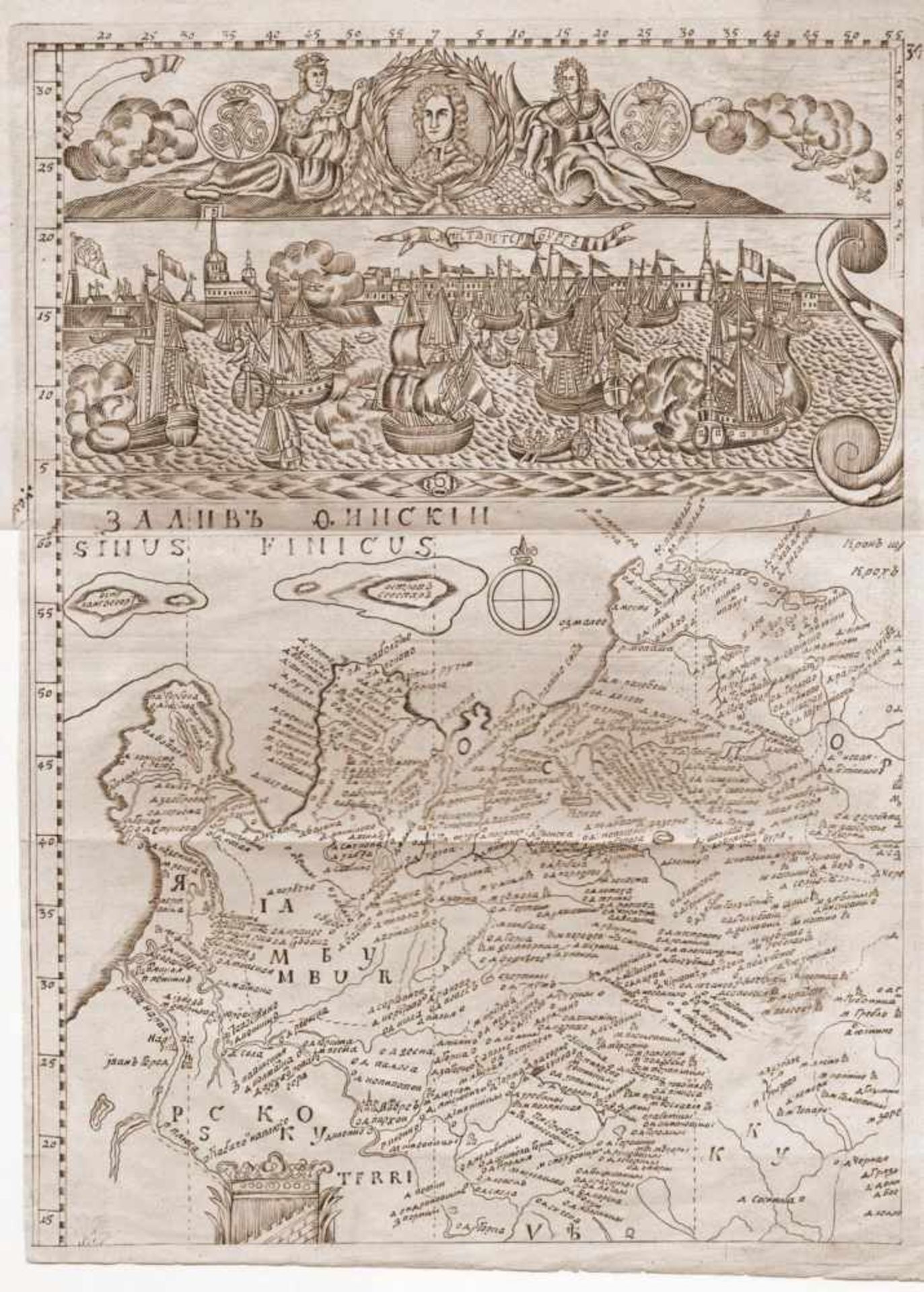
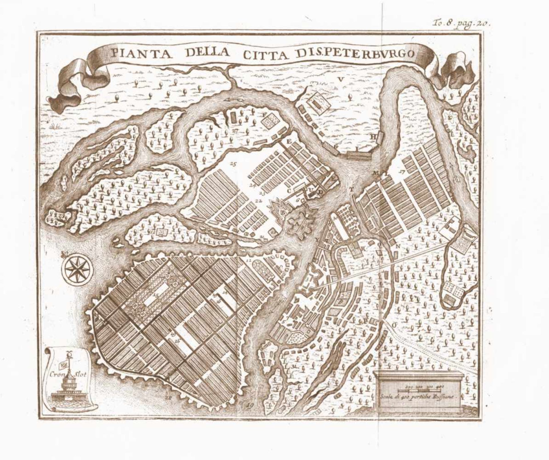
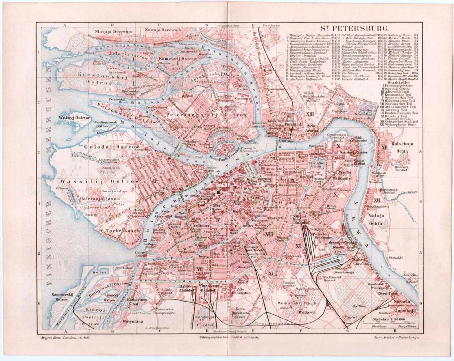
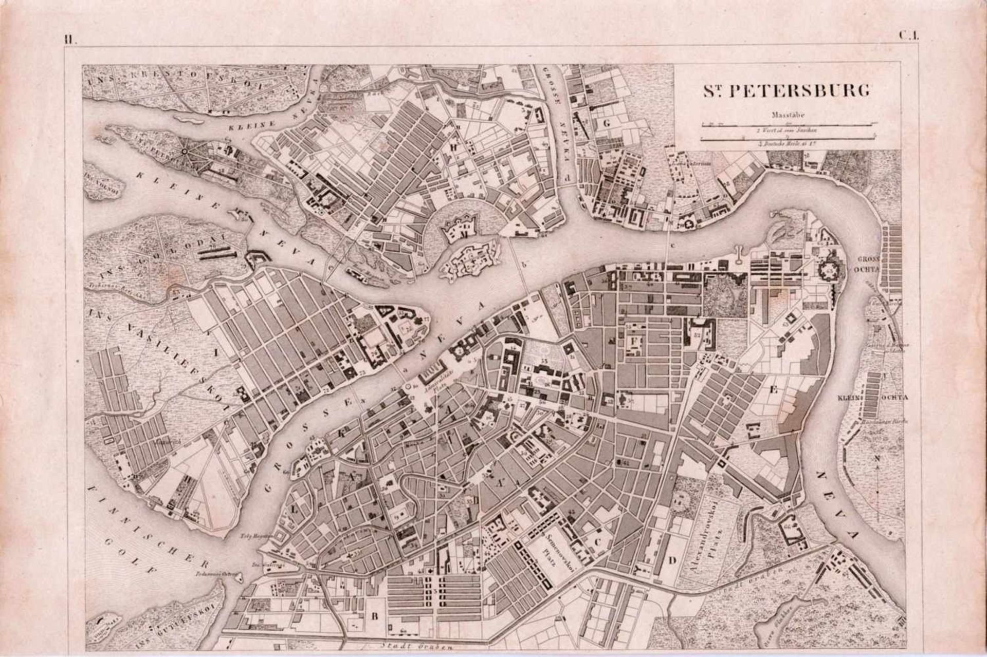
The map of surroundings of Gulf of Finland and the plans of St. Petersburg. 18-19 c. 4 engravings. -
1/4
Das Auktionshaus hat für dieses Los keine Ergebnisse veröffentlicht
Hamburg
Beschreibung
The map of surroundings of Gulf of Finland and the plans of St. Petersburg. 18-19 c. 4 engravings. - 40x29, 19x24, 16x24, 24x30 cm.
1.The plan of St. Petersburg. The first half of the XVIII century. Engraving. - 1 sheet; 40x29 cm
2. The plan of St. Petersburg. The first half of the XVIII century. Engraving. - 1 sheet; 19x24 cm
3. Plan of St. Petersburg. The first half of the XIX century. Engraving. - 1 sheet; 16x24 cm.
4. Double-sided plan of St. Petersburg. Late XIX century. Lithograph. - 1 sheet; 24x30 cm. From the "Meer Encyclopedic Dictionary," published in Leipzig.
The map of surroundings of Gulf of Finland and the plans of St. Petersburg. 18-19 c. 4 engravings. - 40x29, 19x24, 16x24, 24x30 cm.
1.The plan of St. Petersburg. The first half of the XVIII century. Engraving. - 1 sheet
Auktionsdetails
Versand
AGB & Wichtige Informationen
Stellen Sie dem Verkäufer eine Frage
The map of surroundings of Gulf of Finland and the plans of St. Petersburg. 18-19 c. 4 engravings. - 40x29, 19x24, 16x24, 24x30 cm.
1.The plan of St. Petersburg. The first half of the XVIII century. Engraving. - 1 sheet; 40x29 cm
2. The plan of St. Petersburg. The first half of the XVIII century. Engraving. - 1 sheet; 19x24 cm
3. Plan of St. Petersburg. The first half of the XIX century. Engraving. - 1 sheet; 16x24 cm.
4. Double-sided plan of St. Petersburg. Late XIX century. Lithograph. - 1 sheet; 24x30 cm. From the "Meer Encyclopedic Dictionary," published in Leipzig.
The map of surroundings of Gulf of Finland and the plans of St. Petersburg. 18-19 c. 4 engravings. - 40x29, 19x24, 16x24, 24x30 cm.
1.The plan of St. Petersburg. The first half of the XVIII century. Engraving. - 1 sheet
Auction № 8. Autographs, documents, manuscripts of XVIII-XX centuries. Russian porcelain & silver. Books. Photography
Auktionsdatum
Ort der Versteigerung
Valentinskamp 62
Hamburg
20355
Germany
Für Artmaximum Versandinformtation bitte wählen Sie +49 (0)40 35019365.


